Infrastructure AI for Risk & Asset Monitoring
Maintaining safe and livable communities is increasingly challenging due to shrinking workforces and aging infrastructure. We empower cities and operators to overcome these labor constraints by automating routine inspections, identifying hazards early, and streamlining disaster response to ensure essential maintenance never falls behind.

INFRASTRUCTURE & ASSET MANAGEMENT
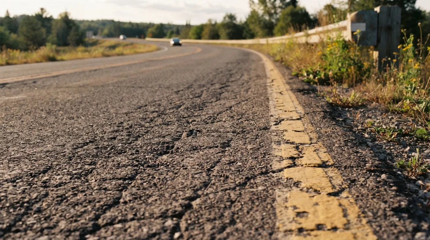
Automated Road Crack & Distress Detection
Detects pavement cracking, potholes, and surface distress from vehicle-mounted drone cameras, and satellite imagery to prioritize road repair and maintenance scheduling.
CHALLENGES TO ADDRESS
Visual inspections are labor-intensive and time-consuming. Maintaining regular inspection frequency across extensive road networks is increasingly difficult.
TECHNICAL APPROACH
Pixel-level crack segmentation to quantify distress severity based on crack length, width, and surface area.
INPUT DATA
Vehicle-mounted drive recorder video, high-resolution drone imagery,
Satellite imagery
EXPECTED DELIVERABLES
Distress GIS map, road section condition index (PCI) summary report
Trget: Municipalities, Forestry Agencies, Fire Services
Disaster & Resilience
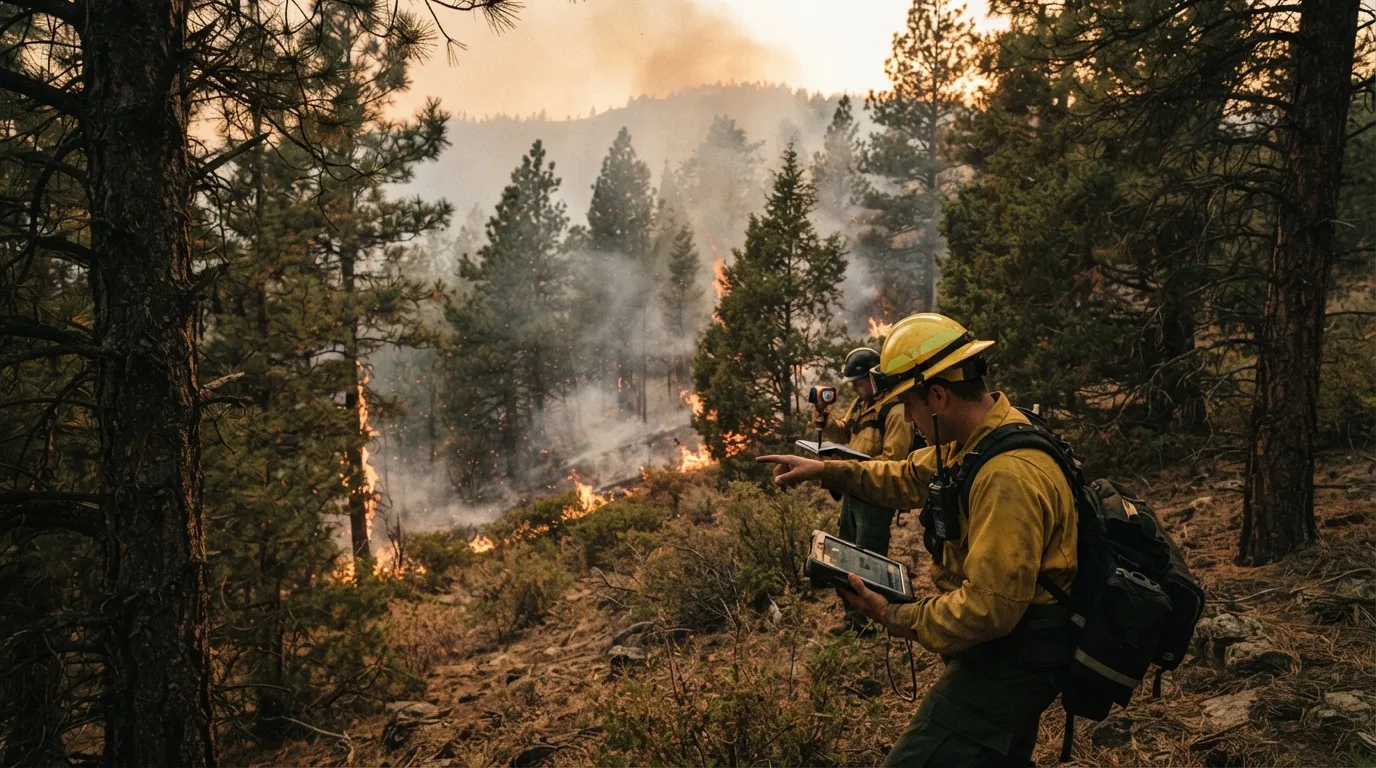
Wildfire Risk Fuel Load Assesment
Estimates vegetation density and moisture content from satellite imagery to map wildfire vulnerability and fire spread corridors.
Target: Municipalities, Highway & Rail Authorities
Disaster & Resilience
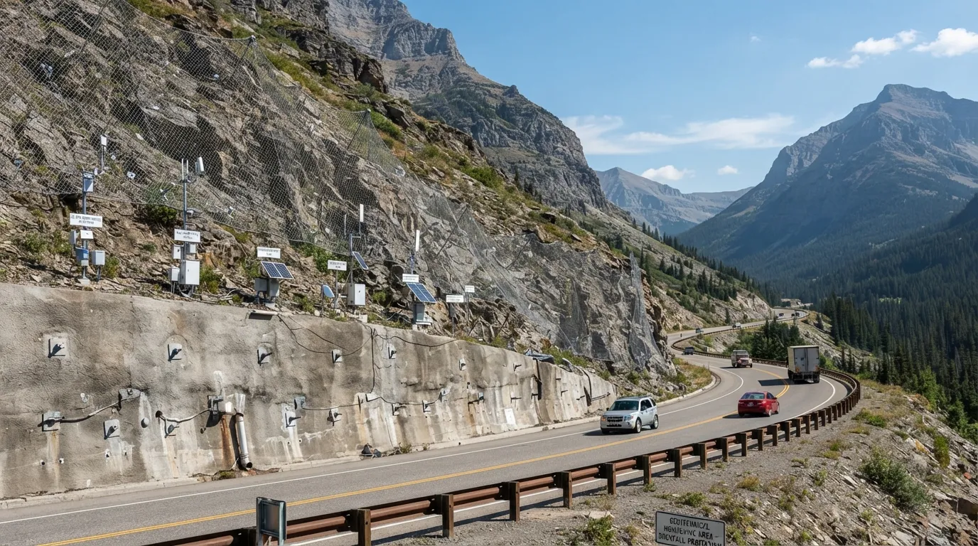
Slope & Ground Displacement Monitoring
Utilizes SAR satellite to
detect millimeter-scale ground displacement and early signs of slope failure.
Target: Municipalities, Disaster Response Authorities
Disaster & Resilience
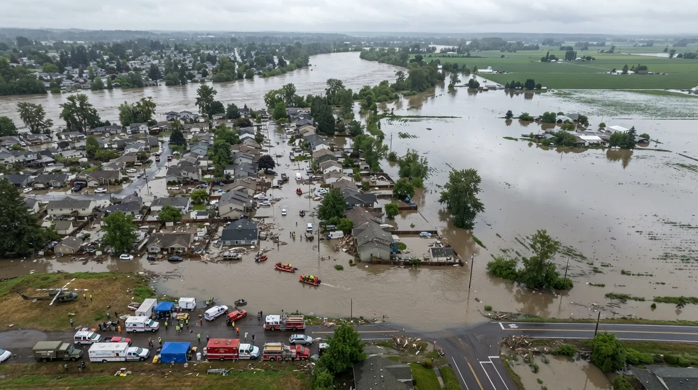
Rapid Inundation & Disaster Extent Mapping
Employs cloud-penetrating SAR radar to map flooded zones and landslides immediately after extreme rainfall events.
Target: Power Utilities, Rail Operators
infrastructure maintenance
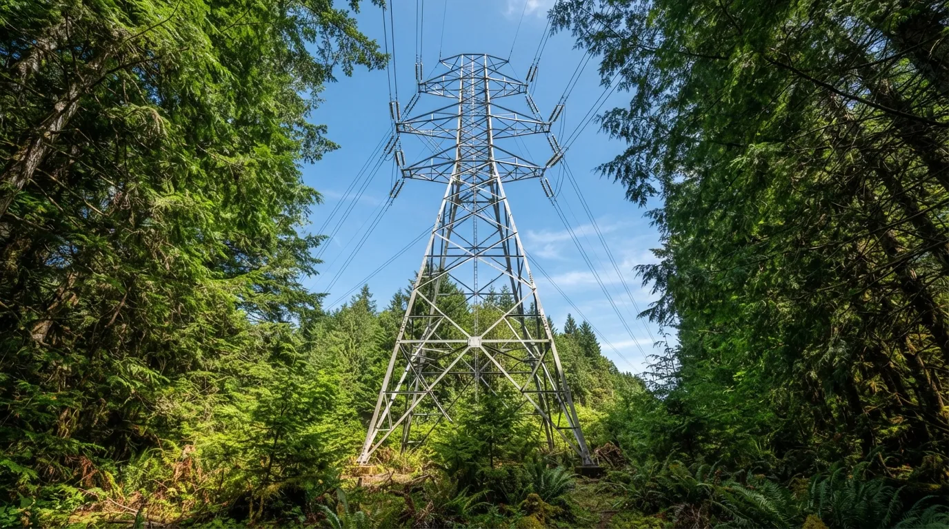
Power Line Clearance & Vegetation Monitoring
Measures tree height and growth rates along power transmission and railway corridors to pinpoint hazardous encroachment zones.
Target: Municipalities
municipal operations
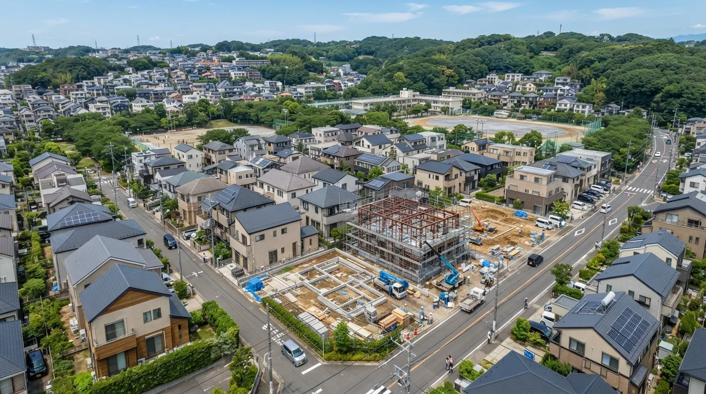
Automated Cadastral & LandUse Change Detection
Cross-references satellite imagery with municipal GIS registers to automatically detect new buildings, demolitions, and land conversions.
Target: Municipalities, Forestry Cooperatives
Forestry & Environment
Cedar Pollen Emission Source & Dispersal Mapping
Maps cedar forest distribution and male cone density via multispectral satellite data and drones to forecast regional pollen dispersal.